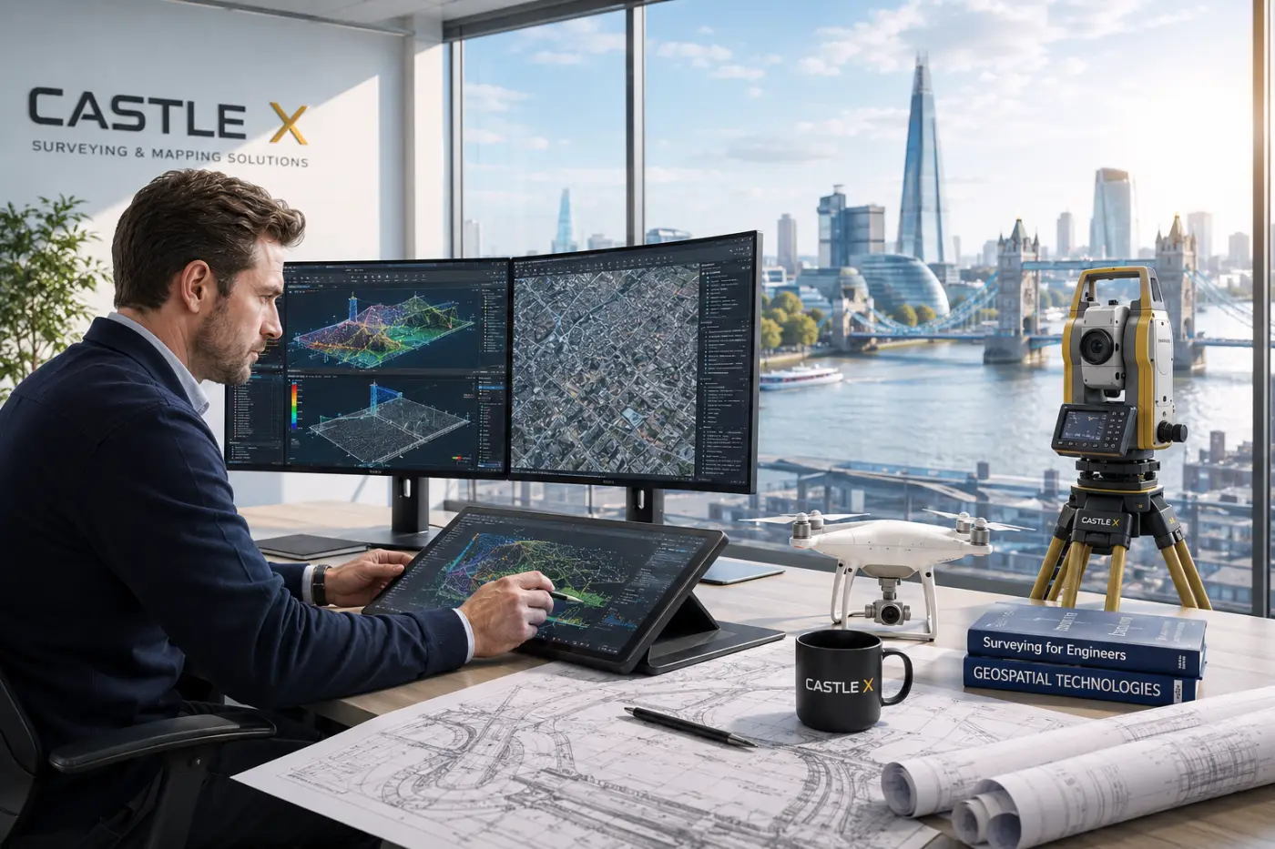
Topographic surveys
Levels, features, boundaries and services for design and planning.
Your decisions are only as good as your data. Castle X delivers accurate, reliable geospatial data for infrastructure, construction, industrial and land development projects: ground-based surveys, aerial photogrammetry and LiDAR, processed into formats your engineers and planners can use straight away.
Pick the parts you need, or let one team carry the whole project.
Levels, features, boundaries and services for design and planning.
As-built documentation of buildings, plants, facilities and equipment layouts.
High-resolution aerial imagery and orthomosaics for large or hard-to-reach sites.
Dense 3D data for existing structures, earthworks and volumes.
Control networks, setting out for construction and movement monitoring.
Processed, interpreted and presented in clear, usable formats for decision-makers.
We don't hand over drawings and disappear: the same people carry your project from the survey to the site.
We agree the area, accuracy and the outputs your team needs.
Ground survey, drone flight or LiDAR scan with ground control points.
Point clouds, orthomosaics and CAD drawings produced and checked.
Data delivered in your formats with stated accuracy.
Numbered, revision-controlled and delivered in the formats your contractors and manufacturers already use.
Anything else, the assistant in the corner answers right away, or message us on WhatsApp.
With ground control points and proper processing, our aerial surveys achieve centimetre-level accuracy, which we state in the report. Where a project needs tighter tolerances, we combine drone capture with ground-based measurement.
Yes. Drone capture keeps surveyors out of traffic, plant and unsafe areas and covers large sites quickly. Flights are planned to comply with UK drone regulations.
Point clouds (LAS, E57), orthomosaics and elevation models (GeoTIFF), CAD drawings (DWG, DXF), 3D models and clear PDF reports, plus CSV or GIS data where needed.
A typical site is captured in a day; processing and drawings follow within days depending on the size and the outputs required. We confirm the programme with your quote.
Send us your site location, drawings or a few photos and tell us what you need. Our engineers and designers reply on the next working day at the latest.